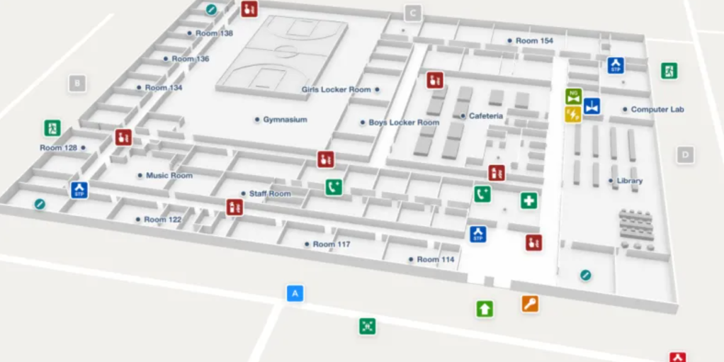
GPS systems may get first responders to incident scenes fast, but navigating buildings’ complex mazes of hallways and corridors in potentially chaotic or low-visibility situations can be tricky. Relying on hard copy or digital building blueprints can be cumbersome or even outdated, adding precious seconds when time is of the essence.
A solution, brought to you by the Science and Technology Directorate (S&T) and digital indoor map navigator Mappedin, was completed in 2022 and has since flourished. The online Mappedin mapmaking subscription, which can transform floor plans into interactive and easily maintainable digitized maps, was recently launched and is currently being used by both response agencies and corporate clients. With easy-to-use mapping tools and data, Mappedin provides high-quality 3D map creation, data maintenance, and map sharing to city executives, building owner operators, and first responders to make and deliver maps for a variety of safety-related situations—from advance preparation and planning to assistance during emergency incidents.


